profile-img

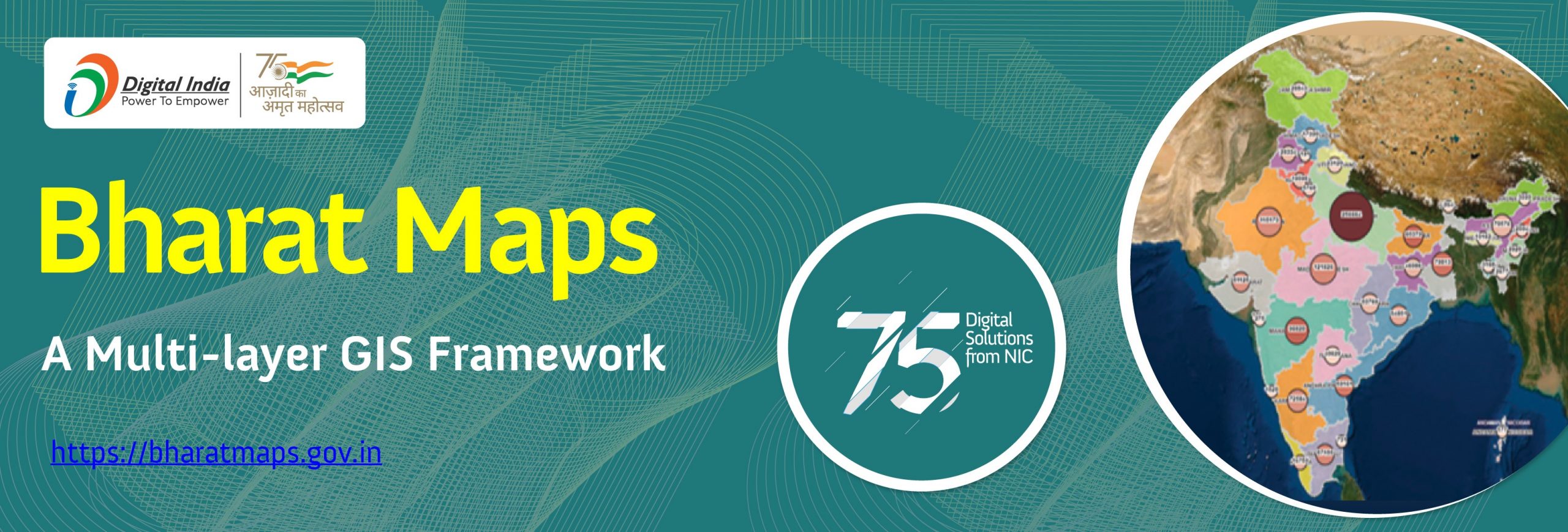
Bharat Maps – A multi-layered GIS Platform comprising country-wide base maps, satellite images & hybrid maps aligned as per the global geo-spatial standard

Home  »     »  Bharat Maps – A multi-layered GIS Platform comprising country-wide base maps, satellite images & hybrid maps aligned as per the global geo-spatial standard

Bharat Maps – A multi-layered GIS Platform comprising country-wide base maps, satellite images & hybrid maps aligned as per the global geo-spatial standard

Page Last Updated Date :November 11th, 2022
error: Content is protected !!